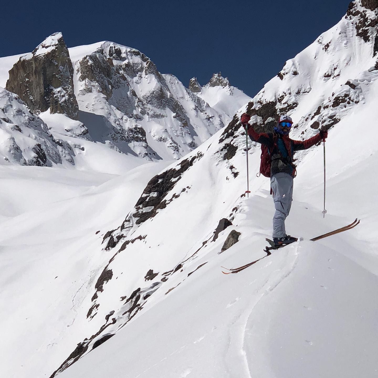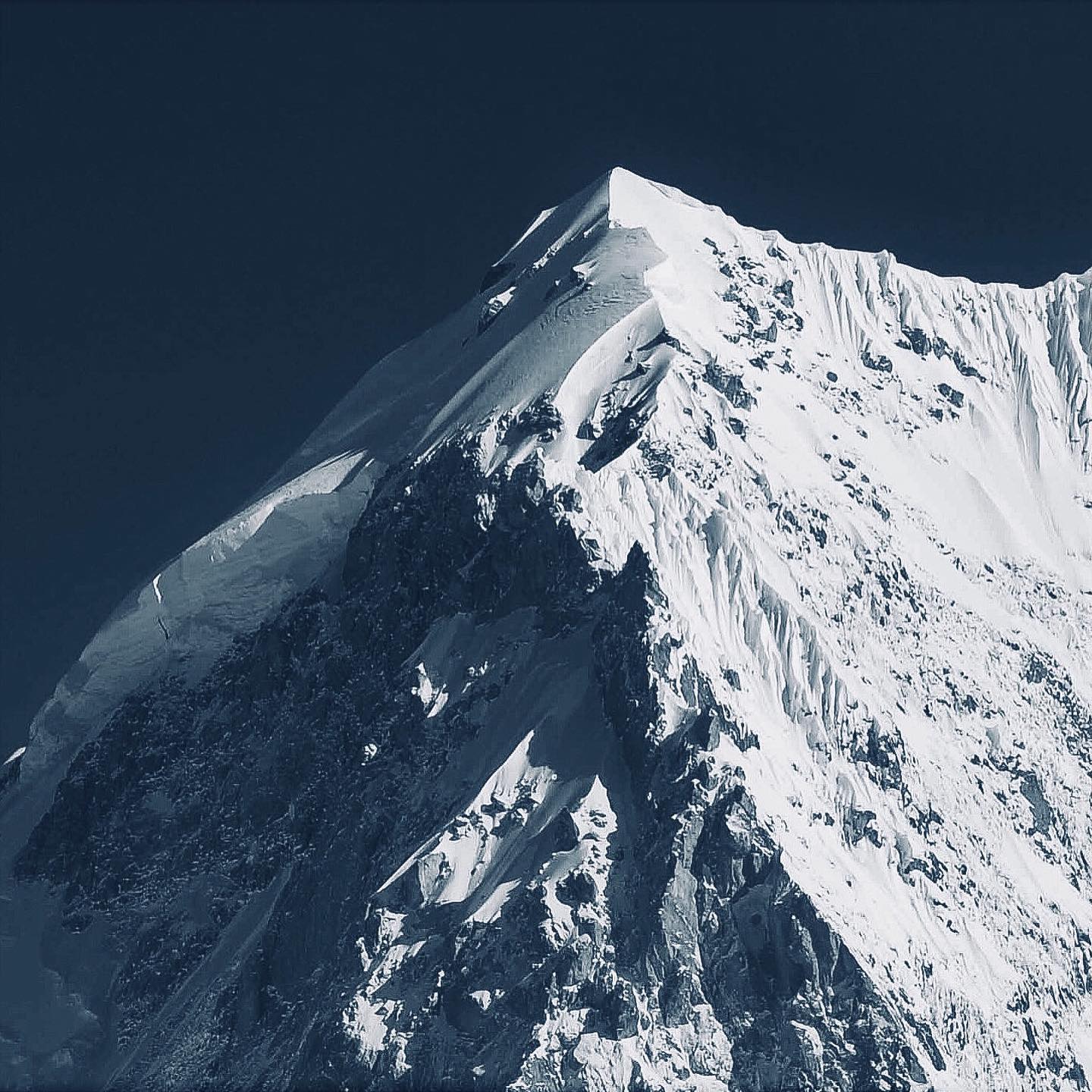
Miyar Valley | Tharang I & II Ski Descents
DATES
May 2027 | 16 days | Keylong to Keylong
A flexible expedition window is essential. The exact order of carries, rest days and summit attempts will be adapted to access, acclimatisation, weather, avalanche conditions and the spring freeze-thaw cycle.
REGION
Miyar Valley, Lahaul, Himachal Pradesh, India
OBJECTIVE
An exploratory ski-mountaineering expedition on the Tharang Glacier, with condition-dependent ski objectives on Tharang II / Shailaputri (approximately 6,025 m), the Tharang I massif (6,066 m), and lower acclimatisation or alternative lines around Tharang Fang / Vishal Dant and Tharang III.
These are objectives, not promised summits or descents. Route choice and turnaround decisions will be made in the field. Previous parties have found avalanche activity, cornices, seracs, crevasses, hard snow, exposed rock and ice on these mountains.
DIFFICULTY
Expert / exploratory expedition. Most operations take place between approximately 3,800 m and 6,000 m.
- Confident skiing or splitboarding in steep, exposed and variable backcountry snow
- Strong uphill capacity over consecutive days while carrying expedition loads
- Prior ski-mountaineering, crampon, ice-axe and roped-glacier experience
- Crevasse-rescue and avalanche-rescue competence
- Ability to make controlled turns in firm snow on slopes around 40 degrees or steeper
PRICE
Price on application. Submit an expression of interest so we can confirm guiding, permits, porter or mule support, transport, equipment requirements and the final team size.
GROUP SIZE
Small expedition team. Final guide-to-participant ratio and team size will be confirmed after an experience and fitness review.
View the Himalayan ski-mountaineering gear list
EXPEDITION STYLE
This is a supported exploratory expedition, not a resort trip or a fixed summit package. Expect load carries, camp building, melted snow for water, long periods above 4,800 m and days when the best decision is to wait, change objectives or turn around.
Ski Mountaineering in the Indian Yosemite
Miyar is a remote western Lahaul valley of broad alpine meadows, long glaciers and huge granite walls. Its scale, sparse visitation and concentration of unclimbed or rarely repeated peaks have given it legendary status among climbers.
The valley also carries a strong local Buddhist culture, with villages supported traditionally by farming and pastoral life.
This expedition leaves the main valley and builds a series of camps toward the Tharang glacial plateau.
The attraction is not a single guaranteed line; it is the chance to explore a very large, lightly documented ski-mountaineering arena with enough time to observe the snowpack and choose the most defensible objective.
This exped builds progressively from the valley floor to the Tharang glacial plateau. Tharang II / Shailaputri is the principal ski objective, with condition-dependent possibilities around the Tharang I massif, Tharang Fang and Tharang III.
Ski Objectives and Route Beta
Tharang II / Shailaputri - North Face Ski Descent
The primary objective is a ski descent of the north face of Tharang II / Shailaputri, whose summit is reported at approximately 6,025 m.
Our approach will be through Tharang Nala, progressing onto the Tharang Glacier and establishing staged camps beneath the massif. From high camp, we will reconnoitre the north face and identify a continuous line connecting the summit area with the upper glacier.
Planned route: Tharang Nala → Tharang Glacier → high camp → north face → approximately 6,025 m summit → north-face ski descent.
This is an exploratory 6,000 m ski objective, not a guaranteed descent. A previous spring expedition observed spontaneous avalanche activity and questioned the stability of the north face. The attempt will therefore require a strong overnight refreeze, acceptable snowpack test results, manageable overhead hazard and a continuous skiable surface.
If the north face is not in condition, the team may consider the southeast couloir previously approached from the approximately 5,700 m col between Tharang I and II, or move to a safer alternative objective.
Tharang I Massif
The 2012 west-ridge first ascent was graded AD+ and involved a bergschrund, pitched ice, a heavily loaded snow ridge and an upper rock band. This provides useful mountaineering and topographic information but does not establish a continuous summit ski line.
A later ski expedition climbed and descended an approximately 40-degree couloir below the roughly 5,900 m northwest fore-summit. The party declined the direct summit couloir because it appeared extremely steep and icy.
For this expedition, a skiable fore-summit couloir or another suitable line on the Tharang I massif will be treated as a secondary objective.
Alternative Objectives
Tharang Fang / Vishal Dant, approximately 5,490 m, and Tharang III, approximately 5,880 m, provide acclimatisation and backup ski objectives.
A previous spring team turned around immediately below Tharang III after encountering a large cornice and signs of a persistent weak layer. The same conservative approach will guide every objective on this expedition.

May can provide a useful high-altitude spring window, but it is not automatically stable.
Historical reports from the Tharang group describe intense daytime heating, overnight high-camp temperatures around -10 to -15°C, weak-layer collapses, spontaneous avalanches wet and dry, large cornices, hanging seracs, fragile crevasses and stonefall.
Early starts, conservative turnaround times and terrain alternatives are central to the plan.
16-Day Expedition | Keylong to Keylong
-
Days 1-5 | Approach and Acclimatisation
Day 1: Meet in Keylong, briefing and equipment inspection.
Day 2: Drive via Udaipur toward the Miyar roadhead.
Day 3: Approach base camp at approximately 3,700-3,800 m.
Day 4: Acclimatisation, rescue refresh and route reconnaissance.
Day 5: Carry equipment toward Camp 1 at approximately 4,300 m. -
Days 6-10 | Building the High Camps
Day 6: Move to Camp 1.
Day 7: Carry and reconnaissance toward Camp 2.
Day 8: Move to Camp 2 at approximately 4,800 m.
Day 9: Roped carry toward the Tharang glacial plateau.
Day 10: Establish high camp at approximately 5,300-5,450 m -
Days 11-16 | Ski Objectives and Exit
Day 11: Acclimatisation objective on Tharang Fang, Tharang III or another suitable line.
Day 12: Tharang I massif or fore-summit objective.
Day 13: Rest, weather and contingency day.
Day 14: Condition-dependent Tharang II / Shailaputri attempt.
Day 15: Recover camps and descend to base camp.
Day 16: Exit the valley and return to Keylong.
Expedition FAQs
Are the Tharang summits and ski descents guaranteed?
No. They are objectives. The final route depends on acclimatisation, weather, snow stability, visibility, glacier conditions and the presence of continuous skiable snow.
What experience is required?
Participants need expert off-piste skiing or splitboarding ability, strong uphill fitness, previous ski-mountaineering experience and competence with crampons, an ice axe, roped glacier travel and avalanche rescue.
What conditions should we expect in May?
Possible conditions range from firm refrozen snow to spring corn, fresh snow and wind-affected surfaces. Historical parties also encountered weak layers, spontaneous avalanches, cornices, seracs and intense daytime heating.
What equipment must participants bring?
Touring skis or a splitboard, skins, ski crampons, avalanche transceiver, shovel, probe, harness, glacier equipment, mountaineering crampons and an ice axe. Final technical and camping equipment will be confirmed with accepted participants.
Miyar Valley and Logistics
Where is Miyar Valley?
Miyar lies in western Lahaul, Himachal Pradesh. The approach passes through Keylong and Udaipur before entering the remote villages of the Miyar Valley.
How high are the camps and objectives?
Base camp is expected near 3,700-3,800 m. Advanced camps may be established near 4,300 m, 4,800 m and 5,300-5,450 m. Ski objectives can approach 6,000 m or more.
How will the expedition loads be carried?
Local porter or mule support may be used where access and seasonal conditions allow. Participants should still expect repeated load carries between the higher camps.
Mules are limited to areas with less than a foot of snow cover.
On glacial terrain, support from porters may be limited. This is where the team transitions to self-supported mode. Our ski / split board guides will aid in the load ferry to higher camps.
Why is the itinerary flexible?
Remote access, altitude, weather and avalanche conditions can change the plan. Rest days and objective days may be exchanged, and safer alternative lines may replace the primary objectives.